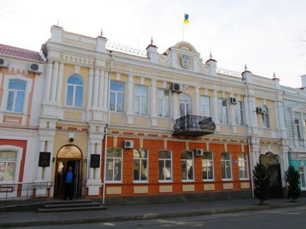
Postal Code 72306 - Melitopol, Zaporizhia Oblast
Zaporizhia Oblast | Ukraine
| Primary City | Melitopol |
| Population | 158,000 |
| Area Codes | 6142, 619 |
| Timezone | Eastern European Summer Time |
| Coordinates | 46.8489° / 35.3653° |
| Related Postal Codes | 72300, 72301, 72302, 72304, 72305, 72307, 72309, 72313, 72314, 72315 |
Map of Postal Code 72306 - Melitopol, Zaporizhia Oblast
Interactive Map
Melitopol Population Density
Population Density: 2,724 / km²
| Location | Population | Area | Density |
|---|---|---|---|
| Melitopol | 127,897 | 47 km² | 2,724 / km² |
| Zaporizhia Oblast | 1.7 million | 27,185.2 km² | 62.9 / km² |
| Ukraine | 42.3 million | 574,117.9 km² | 73.8 / km² |
Sources: JRC (European Commission's Joint Research Centre) work on the GHS built-up grid
Melitopol CO2 Emissions
Carbon Dioxide (CO2) Emissions Per Capita in Tonnes Per Year
| Location | CO2 Emissions | CO2 Emissions Per Capita | CO2 Emissions Intensity |
|---|---|---|---|
| Melitopol | 710,165 tn | 5.55 tn | 15,122.9 tons/km² |
| Zaporizhia Oblast | 8,656,443 tn | 5.06 tn | 318.4 tons/km² |
| Ukraine | 197,794,396 tn | 4.67 tn | 344.5 tons/km² |
Sources: [Link] Moran, D., Kanemoto K; Jiborn, M., Wood, R., Többen, J., and Seto, K.C. (2018) Carbon footprints of 13,000 cities. Environmental Research Letters DOI: 10.1088/1748-9326/aac72a
Melitopol CO2 Emissions
| 2013 CO2 emissions (tonnes/year) | 710,165 tn |
| 2013 CO2 emissions (tonnes/year) per capita | 5.55 tn |
| 2013 CO2 emissions intensity (tonnes/km²/year) | 15,122.9 tons/km² |
Primary City
Melitopol (Ukrainian: Мелітополь, translit. Melitopol’, Russian: Мелитополь) is a city in Zaporizhia Oblast (region) of the southeastern Ukraine. It is situated on the Molochna River that flows through the eastern edge of the city and into the Moloch..
Melitopol Wikipedia Page