Postal Code AB53 - Turriff, Scotland
| Primary City | Turriff |
| Area of Postal Code AB53 | 416.3 km² |
| Population | 13,191 |
| Male Population | 6,542 (49.6%) |
| Female Population | 6,649 (50.4%) |
| Population change from 1975 to 2015 | +34.2% |
| Population change from 2000 to 2015 | +16.0% |
| Median Age | 44.2 years |
| Male Median Age | 43.4 years |
| Female Median Age | 44.9 years |
| Area Codes | 1261, 1888 |
| Postal Code Extensions | AB53 4AA, AB53 4AB, AB53 4AD, AB53 4AE, AB53 4AF, AB53 4AG, AB53 4AH, AB53 4AJ, AB53 4AL, AB53 4AN More |
| Associated Cities | Peterhead, Fraserburgh, Banff, Aberchirder |
| Neighborhoods | Auchterless, Cuminestown, Fortrie, Fyvie, New Byth, New Deer |
| Timezone | British Summer Time |
| Coordinates | 57.53858355852551° / -2.448433616813076° |
| Related Postal Codes | AB39, AB4, AB43, AB5, AB51, AB52, AB54, AB55, AB56, AB9 |
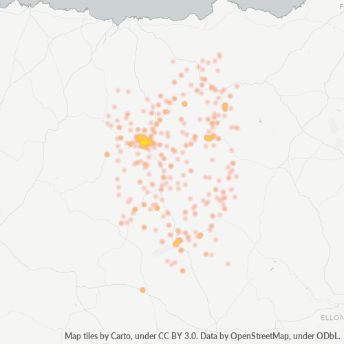
Map of Postal Code AB53 - Turriff, Scotland
Interactive Map
Postal Code AB53 - Turriff, Scotland Population
Years 1975 to 2020
| Data | 1975 | 1990 | 2000 | 2015 | 2020 |
|---|---|---|---|---|---|
| Population | 9,827 | 10,607 | 11,367 | 13,191 | 13,124 |
| Population Density | 23.6 / km² | 25.5 / km² | 27.3 / km² | 31.7 / km² | 31.5 / km² |
Postal Code AB53 - Turriff, Scotland Population change from 2000 to 2015
Increase of 16% from year 2000 to 2015
| Location | Change since 1975 | Change since 1990 | Change since 2000 |
|---|---|---|---|
| Postal Code AB53 - Turriff, Scotland | +34.2% | +24.4% | +16% |
| Turriff | +31.3% | +22.5% | +14.8% |
| United Kingdom | +15.2% | +13.3% | +9.9% |
Postal Code AB53 - Turriff, Scotland Median Age
Median Age: 44.2 years
| Location | Median Age | Median Age (Female) | Median Age (Male) |
|---|---|---|---|
| Postal Code AB53 - Turriff, Scotland | 44.2 yrs | 44.9 yrs | 43.4 yrs |
| Turriff | 44.5 yrs | 46.4 yrs | 42.4 yrs |
| United Kingdom | 39.6 yrs | 40.6 yrs | 38.5 yrs |
Postal Code AB53 Population Density
Population Density: 31.7 / km²
| Location | Population | Area | Density |
|---|---|---|---|
| Postal Code AB53 | 13,191 | 416.3 km² | 31.7 / km² |
| Turriff | 2,995 | 1.823 km² | 1,643 / km² |
| United Kingdom | 64.5 million | 247,916.6 km² | 260 / km² |
Postal Code AB53 - Turriff, Scotland Historical and Projected Population
Estimated Population from 0 to 2100
- JRC (European Commission's Joint Research Centre) work on the GHS built-up grid
- CIESIN (Center for International Earth Science Information Network)
- [Link] Klein Goldewijk, K., Beusen, A., Doelman, J., and Stehfest, E.: Anthropogenic land use estimates for the Holocene – HYDE 3.2, Earth Syst. Sci. Data, 9, 927–953, https://doi.org/10.5194/essd-9-927-2017, 2017.
Neighborhoods
Business Distribution by neighborhood in Postal Code AB53 - Turriff, Scotland
Area Codes
Percentage Area Codes used by businesses in Postal Code AB53 - Turriff, Scotland
Industries
Business Distribution by Industry in Postal Code AB53 - Turriff, Scotland
| Industry Description | Number of Establishments | Average Age of Business |
|---|---|---|
| All food and beverage | 44 | 36.1 years |
| Animal and pet stores | 17 | — |
| Beauty salons | 16 | — |
| Buses and trains | 30 | — |
| Car repair | 39 | 17.7 years |
| Construction of buildings | 16 | — |
| Corporate management | 27 | 20.1 years |
| Electrical installation | 20 | 19 years |
| Grocery stores and supermarkets | 29 | — |
| Hairdressers | 16 | — |
| Other accommodation | 38 | — |
| Restaurants | 19 | — |
| Shopping | 30 | — |
| Shopping other | 52 | — |
| Tractors and farm equipment | 126 | 22.7 years |
Human Development Index (HDI)
Statistic composite index of life expectancy, education, and per capita income.
Postal Code AB53 CO2 Emissions
Carbon Dioxide (CO2) Emissions Per Capita in Tonnes Per Year
| Location | CO2 Emissions | CO2 Emissions Per Capita | CO2 Emissions Intensity |
|---|---|---|---|
| Postal Code AB53 | 155,394 tn | 11.78 tn | 373.3 tons/km² |
| Turriff | 35,286 tn | 11.78 tn | 19,352 tons/km² |
| United Kingdom | 735,672,544 tn | 11.4 tn | 2,967.4 tons/km² |
| 2013 CO2 emissions (tonnes/year) | 155,394 tn |
| 2013 CO2 emissions (tonnes/year) per capita | 11.78 tn |
| 2013 CO2 emissions intensity (tonnes/km²/year) | 373.3 tons/km² |
Natural Hazards Risk
Relative risk out of 10
| Hazard | Risk Level |
|---|---|
| Flood | Medium (4) |
Primary City
(from Scottish Gaelic Torraibh, meaning "place of round hills") is a town and civil parish in Aberdeenshire in Scotland. It lies on the River Deveron, about 166 feet (51 m) above sea level, and has a population of 5,708. In everyday speech it is of..
Turriff Wikipedia Page
About Our Data
The data on this page is estimated using a number of publicly available tools and resources. It is provided without warranty, and could contain inaccuracies. Use at your own risk.