1 Forward Sortation Areas (FSA) in Bamfield
View a list of Forward Sortation Areas (FSA) in Bamfield| Timezone | Pacific Time |
| Area | 8,870 km² |
| Population | 67,327 (More Details) |
| Median Age | 47.6 |
| Forward Sortation Area (FSA) | V0R |
| Postal Codes | 65 |
| Area Codes | 250 |
1 Forward Sortation Areas (FSA) in Bamfield
| Forward Sortation Area (FSA)▲ | City↕ | Population↕ | Area |
|---|---|---|---|
| V0R | — | 65,993 | 8,870 km² |
Bamfield Demographic Information
| Population | 67,327 |
| Population Density | 7.6 / km² |
| Median Age | 47.6 |
| Businesses in Bamfield | 113 |
| Population (1975) | 46,051 |
| Population (2000) | 60,228 |
| Population change from 1975 to 2015 | +46.2% |
| Population change from 2000 to 2015 | +11.8% |
Bamfield
Bamfield is a community that is surrounded by Crown Land, Indian Reserves, and portions of the Pacific Rim National Park, located on Barkley Sound, Vancouver Island in British Columbia. The community, with a population of 155 as of 2011, is divided b..
Bamfield Wikipedia Page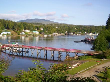
Nearby Cities