2 Forward Sortation Areas (FSA) in Barrhead, Alberta
View a list of Forward Sortation Areas (FSA) in Barrhead, Alberta| Timezone | Mountain Time |
| Area | 8.1 km² |
| Population | 4,417 (More Details) |
| Male Population | 2,057 (46.6%) |
| Female Population | 2,360 (53.4%) |
| Median Age | 44.7 |
| Forward Sortation Areas (FSA) | T0G, T7N |
| Postal Codes | 155 |
| Area Codes | 780 |
Interactive Map
2 Forward Sortation Areas (FSA) in Barrhead, Alberta
| Forward Sortation Area (FSA)▲ | City↕ | Population↕ | Area |
|---|---|---|---|
| T0G | — | 46,286 | 65,449.4 km² |
| T7N | Barrhead, Alberta | 7,220 | 828.2 km² |
Barrhead, Alberta Demographic Information
| Population | 4,417 |
| Population Density | 545 / km² |
| Male Population | 2,057 (46.6%) |
| Female Population | 2,360 (53.4%) |
| Median Age | 44.7 |
| Male Median Age | 41.4 |
| Female Median Age | 47.5 |
| Businesses in Barrhead, Alberta | 1,131 |
| Population (1975) | 3,435 |
| Population (2000) | 4,144 |
| Population change from 1975 to 2015 | +28.6% |
| Population change from 2000 to 2015 | +6.6% |
Barrhead, Alberta
Barrhead is a town in central Alberta, Canada, within the County of Barrhead No. 11. It is located along the Paddle River and at the intersection of Highway 33 (Grizzly Trail) and Highway 18, approximately 120 km (75 mi) northwest of the City of Edmo..
Barrhead, Alberta Wikipedia Page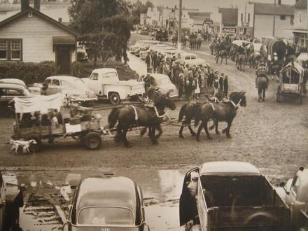
Nearby Cities
| City▲ | Administrative Region↕ | Country Or Region | City Population↕ | Postal Codes |
|---|---|---|---|---|
| Bloomsbury, Alberta | Alberta | Canada | — | T0G |
| Camp Creek, Alberta | Alberta | Canada | — | T0G |
| Fort Assiniboine | Alberta | Canada | — | T0G |
| Vega, Alberta | Alberta | Canada | — | T0G |
| Westlock | Alberta | Canada | 5,067 | T7P |