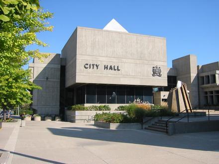
7 Forward Sortation Areas (FSA) in Brantford
View a list of Forward Sortation Areas (FSA) in Brantford| Timezone | Eastern Time |
| Area | 73.6 km² |
| Population | 102,290 (More Details) |
| Male Population | 49,242 (48.1%) |
| Female Population | 53,048 (51.9%) |
| Median Age | 40.1 |
| Forward Sortation Areas (FSA) | L0R, N3L, N3P (4 more) |
| Postal Codes | 4,319 |
| Area Codes | 519, 780 |
Interactive Map
7 Forward Sortation Areas (FSA) in Brantford
Brantford Demographic Information
| Population | 102,290 |
| Population Density | 1,390 / km² |
| Male Population | 49,242 (48.1%) |
| Female Population | 53,048 (51.9%) |
| Median Age | 40.1 |
| Male Median Age | 38.8 |
| Female Median Age | 41.3 |
| Businesses in Brantford | 15,524 |
| Population (1975) | 50,824 |
| Population (2000) | 80,516 |
| Population change from 1975 to 2015 | +101.3% |
| Population change from 2000 to 2015 | +27.0% |
Brantford
Brantford is a city in southwestern Ontario, Canada, founded on the Grand River. Modern Highway 403 connects it to Woodstock in the west and Hamilton in the east; and Highway 24 connects to Cambridge to the north and Simcoe to the south. It is the se..
Brantford Wikipedia Page