7 Postal Districts in Aalsmeer
View a list of Postal Districts in Aalsmeer| Timezone | Central European Time |
| Area | 24 km² |
| Population | 27,714 (More Details) |
| Male Population | 13,705 (49.5%) |
| Female Population | 14,009 (50.5%) |
| Median Age | 40.7 |
| Postal Districts | 1117, 1187, 1424 (4 more) |
| Postal Codes | 1,261 |
| Area Codes | 297 |
Interactive Map
7 Postal Districts in Aalsmeer
Aalsmeer Demographic Information
| Population | 27,714 |
| Population Density | 1,153 / km² |
| Male Population | 13,705 (49.5%) |
| Female Population | 14,009 (50.5%) |
| Median Age | 40.7 |
| Male Median Age | 40.5 |
| Female Median Age | 40.8 |
| Businesses in Aalsmeer | 8,653 |
| Population (1975) | 8,539 |
| Population (2000) | 18,110 |
| Population change from 1975 to 2015 | +224.6% |
| Population change from 2000 to 2015 | +53.0% |
Aalsmeer
Aalsmeer ( pronunciation ) is a municipality and a town in the Netherlands, in the province of North Holland. Its name is derived from the Dutch for eel (aal) and lake (meer). Aalsmeer is bordered by the Westeinderplassen lake, the largest open water..
Aalsmeer Wikipedia Page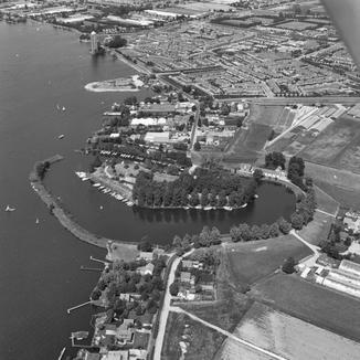
Nearby Cities