2 Postal Districts in Westzaan
View a list of Postal Districts in Westzaan| Timezone | Central European Time |
| Area | 11.3 km² |
| Population | 9,770 (More Details) |
| Male Population | 4,821 (49.3%) |
| Female Population | 4,949 (50.7%) |
| Median Age | 40.2 |
| Postal Districts | 1551, 1566 |
| Postal Codes | 481 |
| Area Codes | 75 |
Interactive Map
2 Postal Districts in Westzaan
| Postal District▲ | City↕ | Population↕ | Area |
|---|---|---|---|
| 1551 | Westzaan | 10,869 | 13 km² |
| 1566 | Assendelft | 24,766 | 29.8 km² |
Westzaan Demographic Information
| Population | 9,770 |
| Population Density | 868 / km² |
| Male Population | 4,821 (49.3%) |
| Female Population | 4,949 (50.7%) |
| Median Age | 40.2 |
| Male Median Age | 39.7 |
| Female Median Age | 40.7 |
| Businesses in Westzaan | 1,365 |
| Population (1975) | 5,862 |
| Population (2000) | 7,676 |
| Population change from 1975 to 2015 | +66.7% |
| Population change from 2000 to 2015 | +27.3% |
Westzaan
is a town in the Dutch province of North Holland. It is a part of the municipality of Zaanstad, and lies about 13 km northeast of Haarlem. was a separate municipality until 1974, when it became a part of Zaanstad. 2001, the town of Westzaan had 2..
Westzaan Wikipedia Page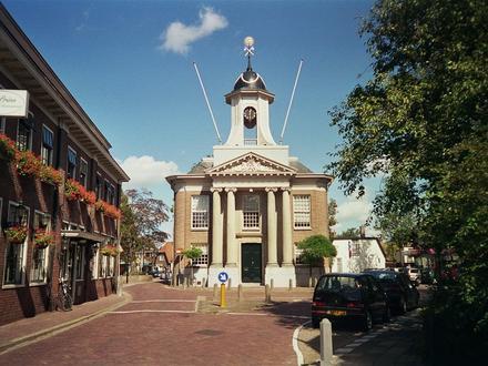
Nearby Cities