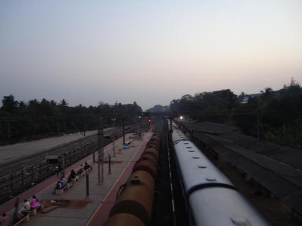
Pin Code 683103 - Aluva, Kerala
Kerala | India
| Primary City | Aluva |
| Population | 24,108 |
| Timezone | India Standard Time |
| Coordinates | 10.117698002537384° / 76.34710375059086° |
| Related Pin Codes | 683101, 683102, 683104, 683105, 683106, 683107, 683108, 683109, 683110, 683111 |
Map of Pin Code 683103 - Aluva, Kerala
Interactive Map
Aluva Population Density
Population Density: 7,387 / km²
| Location | Population | Area | Density |
|---|---|---|---|
| Aluva | 212,656 | 28.8 km² | 7,387 / km² |
| Kerala | 42 million | 38,821.4 km² | 1,081 / km² |
| India | 1,307 million | 3,083,563.4 km² | 424 / km² |
Sources: JRC (European Commission's Joint Research Centre) work on the GHS built-up grid
Aluva CO2 Emissions
Carbon Dioxide (CO2) Emissions Per Capita in Tonnes Per Year
| Location | CO2 Emissions | CO2 Emissions Per Capita | CO2 Emissions Intensity |
|---|---|---|---|
| Aluva | 448,062 tn | 2.11 tn | 15,563.7 tons/km² |
| Kerala | 78,090,447 tn | 1.86 tn | 2,011.5 tons/km² |
| India | 1,928,568,344 tn | 1.48 tn | 625.4 tons/km² |
Sources: [Link] Moran, D., Kanemoto K; Jiborn, M., Wood, R., Többen, J., and Seto, K.C. (2018) Carbon footprints of 13,000 cities. Environmental Research Letters DOI: 10.1088/1748-9326/aac72a
Aluva CO2 Emissions
| 2013 CO2 emissions (tonnes/year) | 448,062 tn |
| 2013 CO2 emissions (tonnes/year) per capita | 2.11 tn |
| 2013 CO2 emissions intensity (tonnes/km²/year) | 15,563.7 tons/km² |
Primary City
Aluva (formerly Alwaye), is second biggest town of Greater Cochin City in the Ernakulam district of Kerala, India which is also considered as the Industrial and Commercial City of Kochi. Located on the River Periyar, Aluva is the industrial epicenter..
Aluva Wikipedia Page